





Introduction — Interactive map of marine biodiversity hotspots in the Aeolian Islands
The Aeolian Islands, a volcanic archipelago north of Sicily, are a superb playground for anyone fascinated by marine life. Made up of seven main islands — Lipari, Salina, Vulcano, Stromboli, Panarea, Alicudi and Filicudi — they offer a patchwork of underwater habitats: Posidonia seagrass meadows, basalt reefs, underwater tunnels, hydrothermal vents and steep drop-offs. This article serves as a practical overview centered on a conceptual interactive map of marine hotspots, including useful details like exact addresses, estimated prices, opening hours and local tips to help you get the most from your dives, snorkeling trips and wildlife watching.
The biological richness of Aeolian waters stems from the meeting of Mediterranean currents and volcanic influences. Volcanic fissures and warm underwater springs create micro-habitats where thermotolerant algae, endemic invertebrates, coralligenous formations and schools of typical Mediterranean fish — groupers, damselfish and sea bream — thrive. A well-designed interactive map will help you quickly spot protected Posidonia beds, recognized dive sites, marine protected areas and harbor access points used by local operators. This guide complements that map with immersive descriptions, precise coordinates, price ranges and operators’ schedules so you can plan safe, low-impact explorations.
Whether you’re a certified diver, a snorkeler hunting colorful gorgonians, an amateur seaweed forager or an underwater photographer, this guide outlines must-see hotspots and quieter spots off the beaten path. It also includes practical advice: how to pick the best time of day and year to see certain species (for instance eel spawning seasons or tuna movements), which wetsuit thickness to bring for each season, and how to interact responsibly with fragile habitats like Posidonia oceanica meadows. You’ll also find information on local services (dive centers, ports, shuttle providers) with exact addresses and sample prices for excursions and beginner dives, so the interactive map becomes a useful tool on the water.
Hotspot 1 — Lipari: marina, Posidonia meadows and rocky drop-offs (Lipari, Marina Corta)
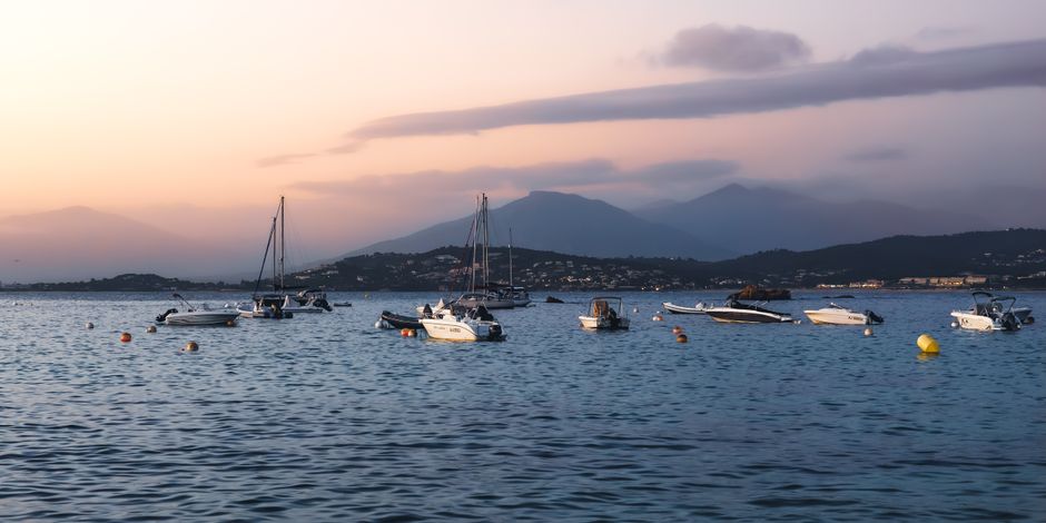
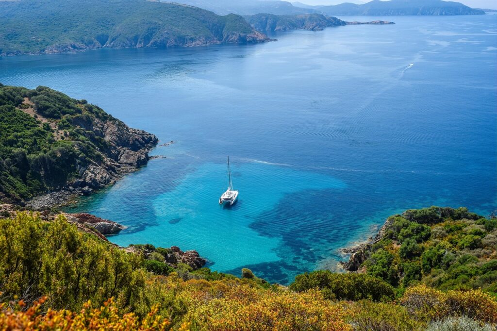
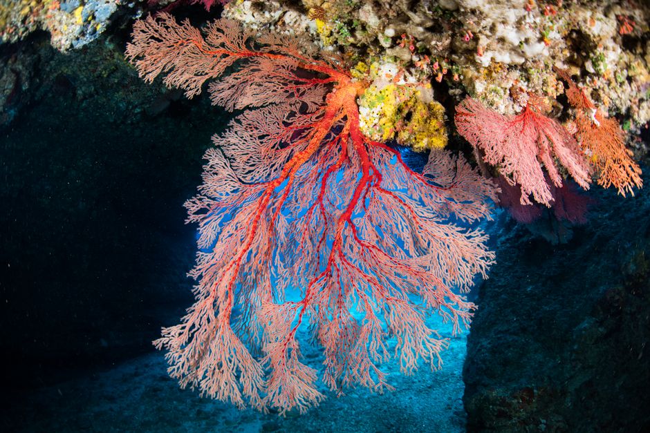
Lipari is the main gateway to the archipelago and a major hotspot for marine biodiversity. The main harbor, Marina Corta, located at Marina Corta, 98055 Lipari ME, Italy, serves as a logistical base for many excursions. Access to the dive site « Punta Castagna » (east coast) is often made from this port. Posidonia oceanica meadows around Lipari form dense seagrass beds that shelter blennies, gobies, syngnathid nesting sites and juvenile flatfish. The rocky drop-offs, especially near the « Secca di Porri, » feature walls draped in red gorgonians and feather duster worms.
Practical hours: most operators leave the harbor between 08:00 and 09:30 to take advantage of calmer seas. Divers typically meet at 08:00 at the dive center for equipment checks. Example operators: Lipari Diving Center, Via Marina Corta 12, 98055 Lipari ME — sample prices: introductory dive (try dive) €70 per person (approx. 2 hours), guided dive €55 per dive (boat included), full equipment rental €25 per day. Opening hours: 08:00–19:00 in season (April–October), 09:00–17:00 off-season.
Immersive description: dropping below the surface near Punta Castagna you immediately sense the change — the water cools a little and light filters through Posidonia leaves swaying in the current. You might encounter tight schools of bogues, small groupers tucked into crevices, and occasionally shy sea bream. Visibility varies — often excellent (20–30 m) on calm days, but reduced after strong winds. The drop-offs feature caverns inhabited by spiny lobsters and conger eels; in the late afternoon the predators become more active and you can witness their hunting choreography.
Local tips: respect Posidonia meadows — do not swim over or drop anchor on them. Use moorings indicated by dive centers or official mooring buoys. For macro photography bring a warm-toned video light and a 60–100 mm macro lens; for wide-angle scenes the drop-offs work well with a wide-angle lens. Pre-book dives during high season (July–August) and check daily marine weather bulletins available at the port information point, « Ufficio Informazioni Turistiche », Via Roma 1, 98055 Lipari (open 09:00–13:00 and 15:00–19:00).
Hotspot 2 — Stromboli: endemic life around Strombolicchio and hydrothermal springs
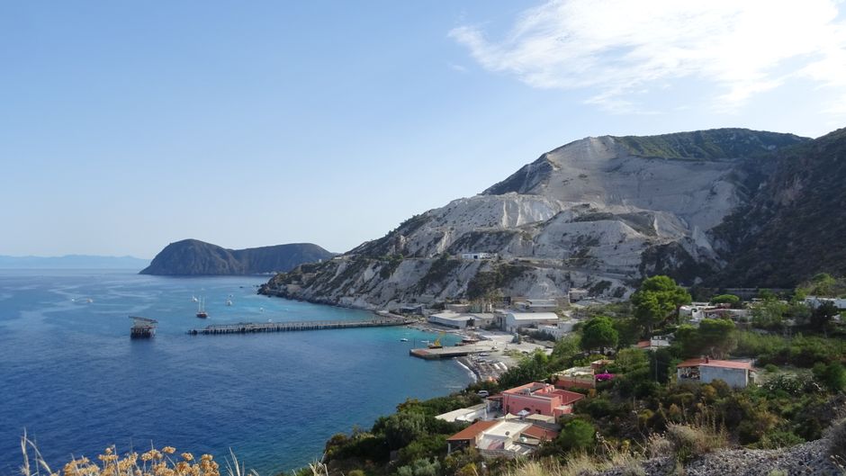
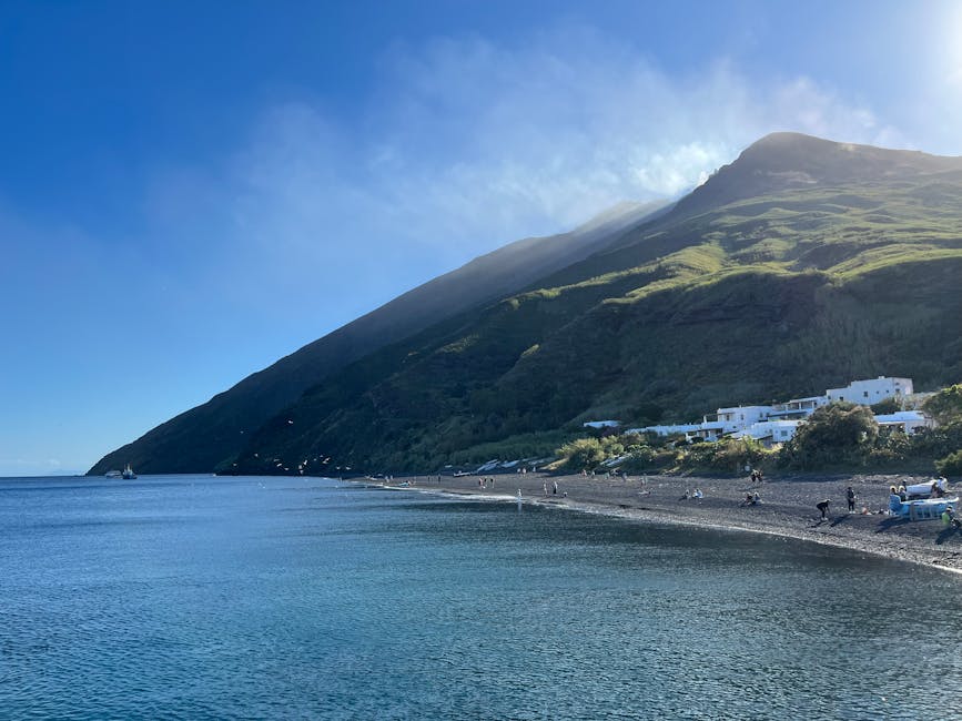
Stromboli, famous for its still-active volcano, also boasts remarkable marine diversity driven by hydrothermal activity and basaltic substrates. The small islet of Strombolicchio, just off the main island (approximate coordinates), is a marine sanctuary where endemic species and seabird colonies flourish. The small harbor, Porticciolo di Stromboli, is located at Porto di Stromboli, 98050 Stromboli ME, Italy. Divers explore areas around Strombolicchio and submarine lava flows where thermophilic species and mineral-rich flora are found.
Hours and operators: most boat trips depart between 07:30 and 09:00 to combine volcano viewing with morning dives. Example operator: Stromboli Sub Diving, Via Vittorio Emanuele 10, 98050 Stromboli ME — rates: guided dive €60 (boat included), double dive €100; snorkeling tour €30 per person (2–3 hours). Opening hours: 07:30–18:00 in season (May–September). Access to some protected zones around Strombolicchio may require local permits or accompaniment by an authorized guide.
Immersive description: beneath the surface near hydrothermal fissures, fine mineral-rich bubbles rise while patches of warmed rock subtly change color. Surrounding areas are home to yellow sponges, hardy anemones and shells associated with warm sediments. Basalt walls are encrusted with purple gorgonians and octocorals tolerant of temperature swings. Dives here can reveal rare species — endemic sponges and gastropods adapted to thermal conditions.
Local tips: proximity to the volcano demands caution — avoid diving if there have been recent strong eruptions; check with the Osservatorio Vulcanologico Stromboli or port authorities. Currents can change quickly; choose trips with experienced local guides who know the counter-currents and sheltered spots. If snorkeling near Strombolicchio wear water shoes — approaches from small boats often involve sharp rocks. Respect signage and protected zones — parts of the area are designated Reserva Naturale Orientata Isola di Stromboli.
Hotspot 3 — Panarea and Basiluzzo: coralligenous reefs and pelagic life
Panarea is the smallest island but among the richest for coastal biodiversity. The area around Basiluzzo (islet Basiluzzo, vicinity of 98040 Panarea ME) features coralligenous reefs and rocky bottoms lit by filtered light between islets. It’s an excellent spot to observe schools of sargo, damselfish and occasionally small rays. Panarea’s main landing point is Cala Junco, 98050 Panarea ME for boat disembarkation. The village of San Pietro, Via San Pietro 1, 98050 Panarea ME, hosts a few dive centers and rental shops.
Hours and prices: boat trips around Panarea commonly leave between 09:00 and 11:00. Sample rates: boat trip to Basiluzzo (3 hours) €40 per adult, guided snorkeling €35; guided dives from Panarea €60–80 depending on the number of dives; snorkel mask/tube rental €8 per day. Operators generally run 08:30–19:30 in high season. It’s advisable to book the day before to secure space and equipment.
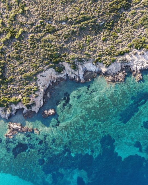
Immersive description: approaching Basiluzzo by boat you’ll notice the water shift from turquoise to deep blue — a sign of steep drop-offs. From the moment you hit the water, colonies of colorful ascidians and welcoming gorgonians are everywhere. Hard and soft corals alternate, and the presence of light-loving algae gives the underwater scene a reddish glow at sunset. Above water the islets attract cormorants and terns; below, encounters with schools of bogues and damselfish make for excellent nature photography.
Local tips: avoid diving alone through narrow passages between islets — opt for guides who know the micro-currents. For photography use a polarizing filter and strobe to bring out gorgonian colors. If you want pelagic sightings, plan trips early morning or late afternoon, when predators come up to hunt. And always use official moorings when available to protect fragile coralligenous habitats.
Hotspot 4 — Salina, Vulcano, Alicudi and Filicudi: ecological variety and quieter sites
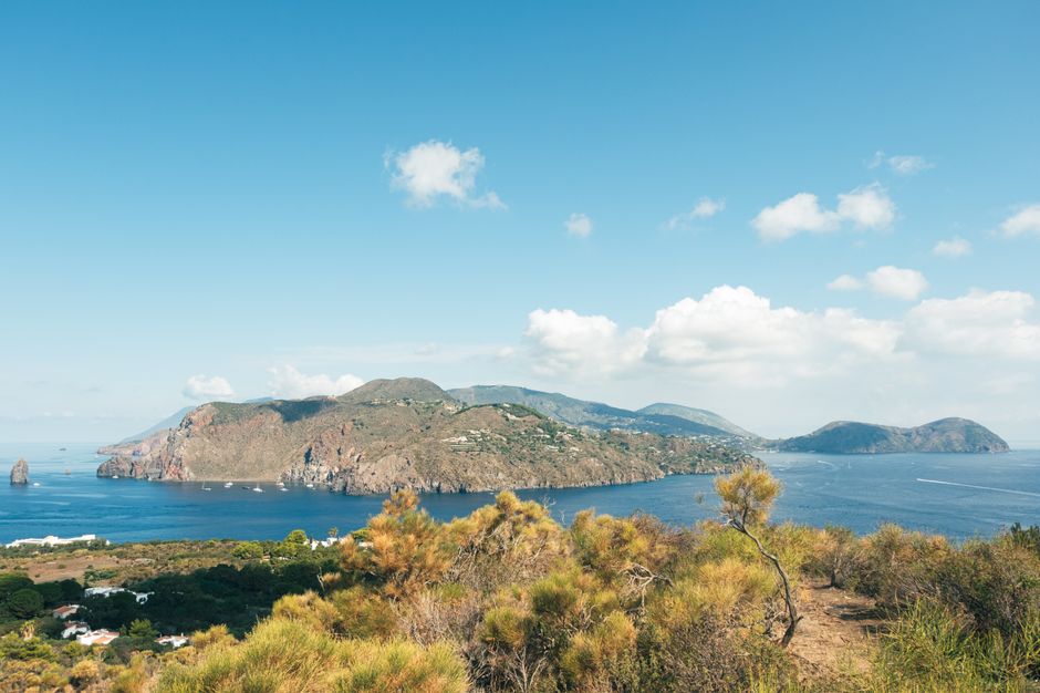
The other islands in the chain offer complementary hotspots. Salina, especially its northwest coast (Marina di Rinella, 98050 Santa Marina Salina ME), features mixed Posidonia/rock bottoms where large bivalves, schools of salema and juvenile groupers coexist. Vulcano (Porto di Levante, 98050 Vulcano Porto ME) is known for underwater fumaroles and black sand beaches; areas near Gelso and Lentiaio host invertebrate-rich habitats. Alicudi and Filicudi, wilder and less visited, have deep drop-offs and underwater caves ideal for spotting rare species and top predators, often accessed via zodiac excursions.
Addresses and operators: in Salina, Salina Dive Center, Via Rinella 6, 98050 Santa Marina Salina ME — rates: guided dive €55, wetsuit rental €12; hours 08:30–17:30. In Vulcano, Vulcano Sub, Via Spiaggia 2, 98050 Vulcano Porto ME — rates: snorkeling €25, introductory dive €75 (1 dive), guided dive €60. For Alicudi and Filicudi, departures often leave from Lipari or Milazzo with local operators (book well in advance); example trip: « Filicudi Caves » excursion from Lipari, departs Marina Corta 08:00, price €60 (half-day, includes snorkeling stop and naturalist guide).
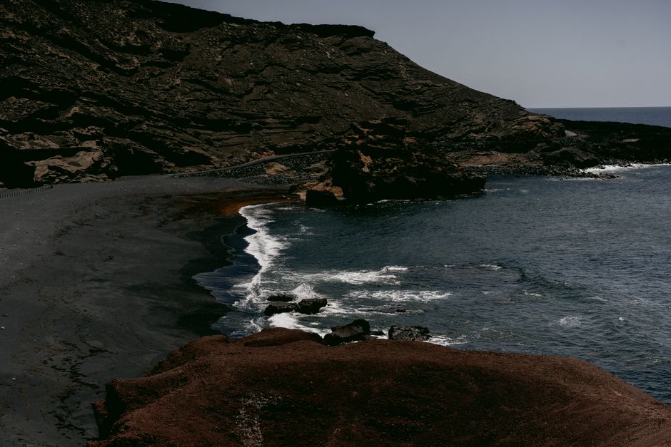
Immersive description: at Vulcano the contrast between scorching black sand and crystal-clear water is striking; diving reveals black volcanic seabeds set off by the vivid hues of sponges and anemones. Underwater hot springs sometimes release tiny mineral bubbles, attracting tube worms and specialized microfauna. At Filicudi and Alicudi, isolation brings encounters with schools of barracuda and occasional dolphin sightings. Caves like the famous Grotta del Bue Marino (Filicudi) shelter crustaceans and cave-dwelling fish.
Local tips: at Vulcano be cautious of mud baths and abrupt temperature changes — avoid diving directly into areas of strong hydrothermal activity. For Alicudi and Filicudi check local ferry schedules (Siremar/Tirrenia) as connections are less frequent — e.g. regular links from Milazzo: Porto di Milazzo, Via Garibaldi 28, 98057 Milazzo ME — fares roughly €15–25 depending on season and vessel type; schedules vary (consult official sites). Bring food and water for day trips to these more remote islands, and consider hiring a guide if you plan to explore underwater caves for safety and conservation reasons.
Practical cross-cutting tips for using the interactive map
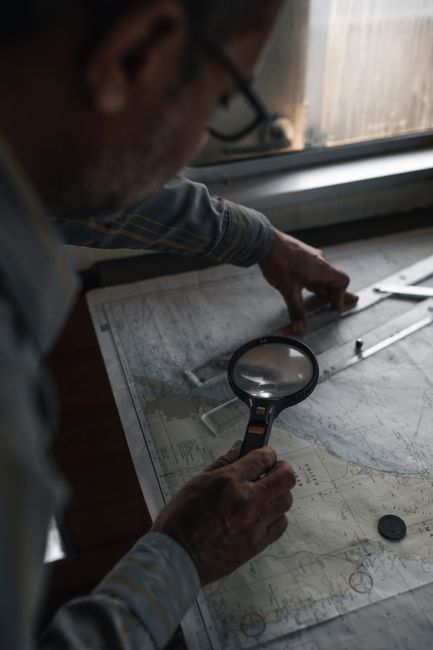
An effective interactive map should combine thematic layers: points of interest (dive sites, Posidonia zones), services (dive centers, ports, rentals), protection levels (marine protected areas), marine parameters (currents, average temperature) and real-time alerts (closures, volcanic activity). Use filters to sort by activity (snorkeling, technical diving, photography) and by depth. Include detailed profiles for each hotspot with exact address, indicative prices, opening hours and local regulations (no-go zones, mooring rules, potential diver quotas).
Before you go, check local marine weather forecasts (bollettino meteo marino) and volcano bulletins for active islands (e.g. Stromboli, Vulcano). Always respect wildlife and habitats: no uprooting, no feeding fish, and no anchoring on Posidonia meadows. The best visibility and wildlife activity generally run from late spring to early autumn (May–October). In height of summer, visitor numbers rise and seas may get choppier later in the day — prioritize morning outings.
Conclusion — Using the interactive map responsibly and enjoyably
Creating and using an interactive map of marine biodiversity hotspots in the Aeolian Islands is both practical and ethical. Practical because it gives quick access to key information: exact addresses of ports and dive centers, sample prices for try-dives and guided dives, departure times, recommended mooring points and protected areas. Ethical because it channels human activity toward low-impact practices by informing users about local rules and highlighting ecologically sensitive areas like Posidonia oceanica meadows and coralligenous reefs.
For travelers and naturalists the map becomes a field companion: it helps plan daily routes (for example, depart Marina Corta in Lipari at 08:00, dive at Punta Castagna at 09:30, transfer to Panarea for snorkeling at 14:00), allows booking with local operators and ensures your chosen approach respects conservation rules. It’s also invaluable for photographers and citizen scientists documenting observations, providing essential metadata (depth, approximate GPS coordinates, substrate type).
In short, whether you’re after technical dives, contemplative snorkeling or simply enjoying biodiversity from the surface, combine curiosity with responsibility. Use the interactive map to minimize your impact, maximize chances of memorable encounters and support local stakeholders (dive centers, naturalist guides, reserves). Remember that the sea is ever-changing: weather, volcanic activity and seasons greatly affect what you’ll see. Always check conditions shortly before heading out, book in advance during high season, bring the right kit and heed local guides’ advice. Happy exploring in the Aeolian Islands — may your trips be full of encounters, color and discoveries, always in respect of this unique ecosystem.